The Labyrinth
Days hiked: 3 (+ 1 day ferry ride in to Narcissus Hut)
km walked: 57
hours walked: 28 (including lunch stops etc)
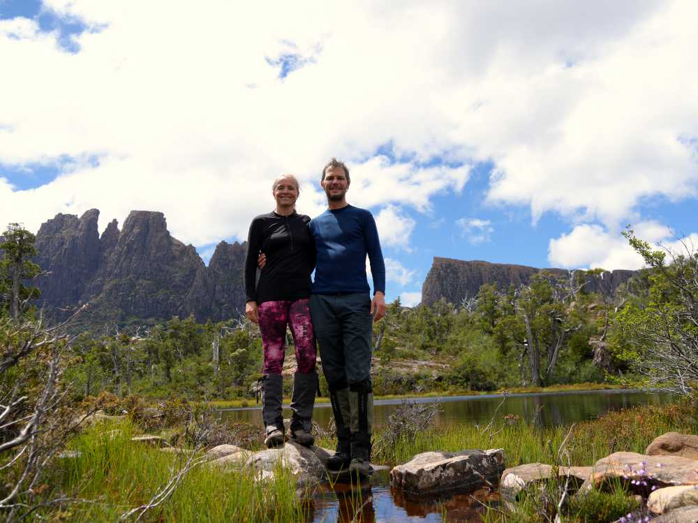
A long time ago (in 2010, OMG we’re getting old!) we hiked the Overland track after finishing Wild Side (a 4 day mtb race in Tasmania). Close to the end we noticed a sign that said The Labyrinth and we were intrigued. So, fourteen years later we finally had a chance to check out this intriguing Labyrinth, and we drove to the Lake St Clair visitors centre after finishing Frenchmans Cap. The visitor centre is located at the end of the Overland track, and from there we could hike to the Labyrinth. There’s also a ferry crossing the lake from the visitor centre to Narcissus Hut, and the last sailing of the day was at 3pm. We decided to try to get ready for it so we could get there that night, the weather was fantastic and we wanted to make the most of it. We hadn’t taken the ferry when we hiked the Overland track so it would be nice to see the area from the lakeside too. The next 2.5 hours were spent eating lunch, packing all the food, repacking the packs and putting our, still smelly, hiking gear on again.
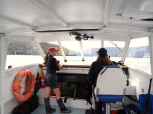
We were ready on time and hopped on the ferry with Tegan, our captain from Far North Queensland. She had only started the job a few months ago, but was very knowledgeable about the mountains we were seeing. She also told us it’s Tasmania’s deepest lake (160m) and that fresh water gets choppy faster than salt water. We learnt a lot.
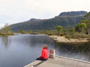
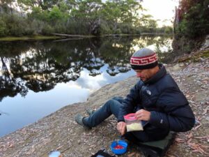
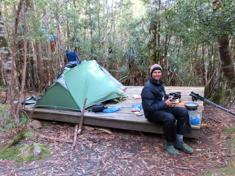
We camped at Narcissus Hut which is where the journey for most Overland walkers ends. They take the ferry back from here and it was busy. We found a quiet spot next to the river and after a delicious dinner on the jetty (no platypus unfortunately) we went to bed early.
Day 1 – Narcissus Hut to Pine Valley Hut and to the Acropolis and back (18km, 10 hrs)
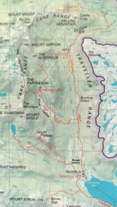
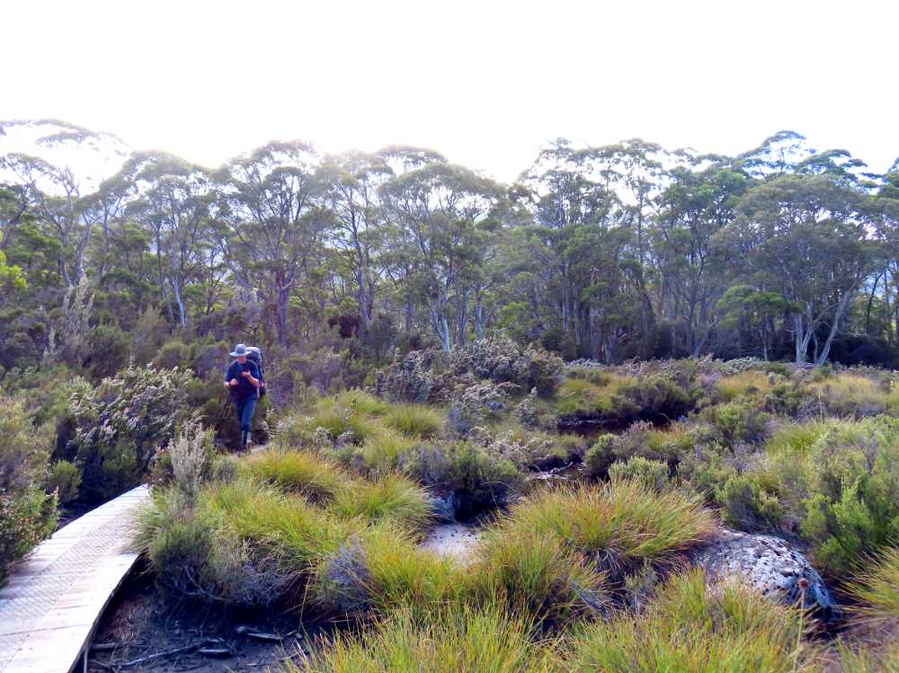
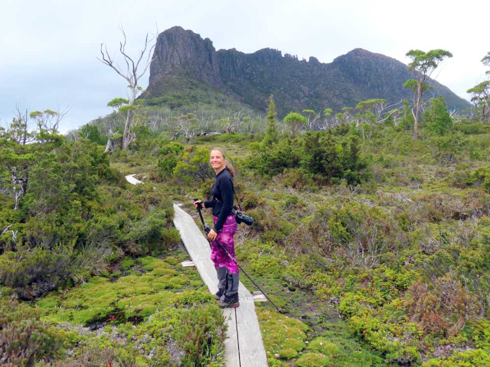
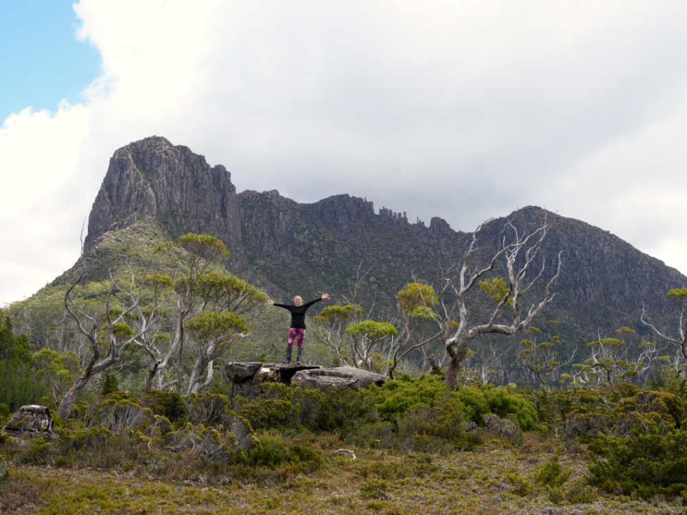
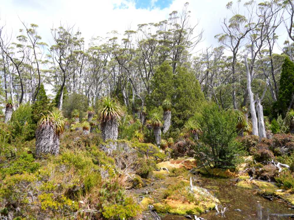
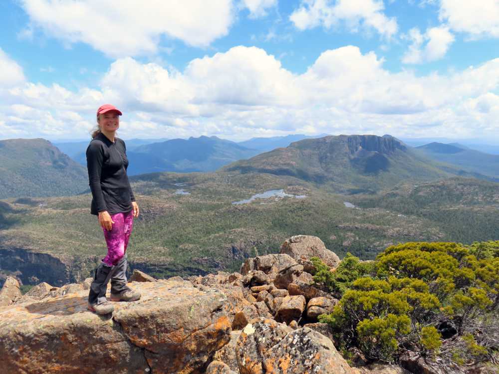
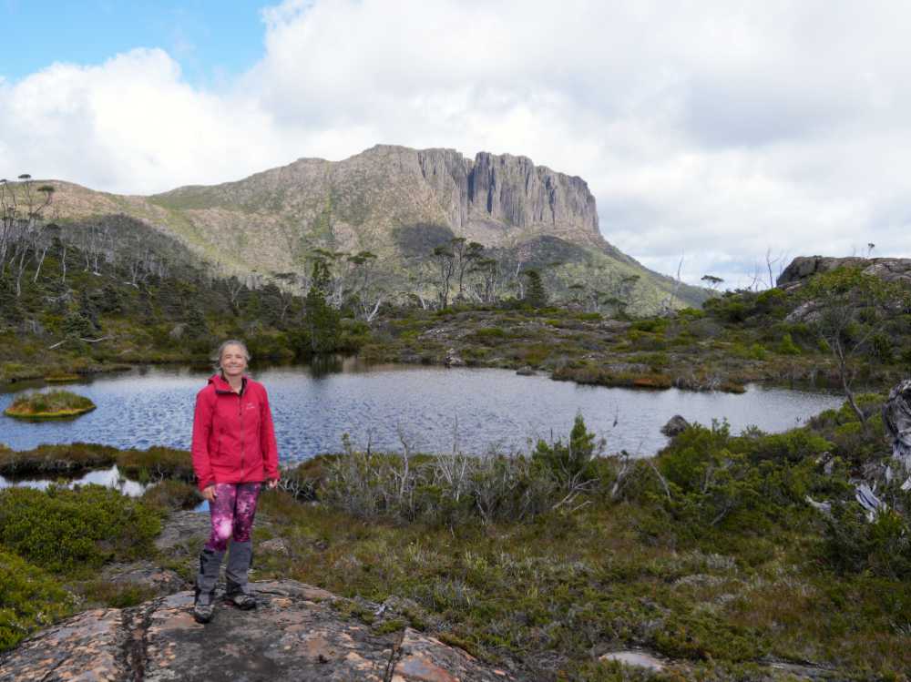
The walk to Pine Valley Hut is not long (about 2.5 hours) and we quickly pitched our tent before heading straight out to the Acropolis. It was sunny and almost wind still so a perfect time to head up to one of the high points in the area. The climb up can be quite treacherous when it is windy and wet, so we were lucky. From the hut we started with a walk through the dark, moss-covered forest. It climbs steeply for about 1 hour until you reach the bright, gum trees covered plateau. The contrast is amazing. This section of the hike is very gentle, a large portion of it covered with boardwalks to protect the fragile environment. We spotted a large boulder just off the main track and decided it was our lunch spot for the day. We had amazing views and could only guess how the track would take us to the top. We’d soon find out.
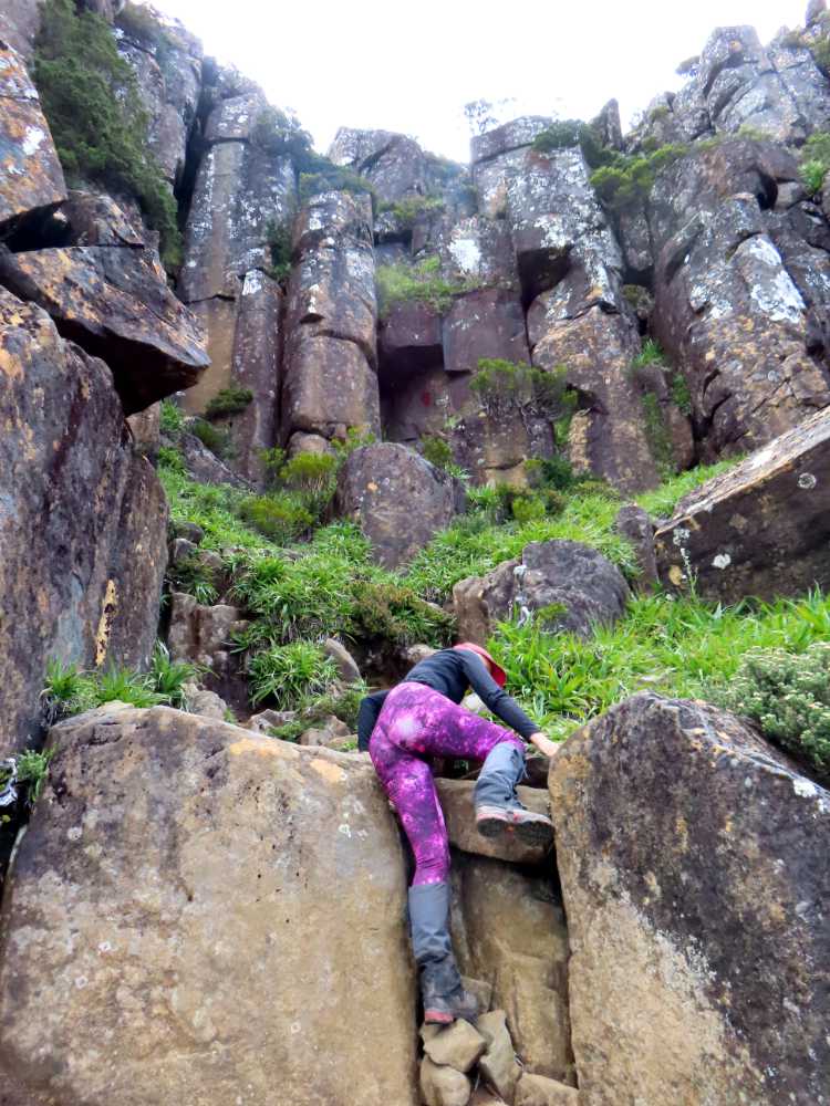
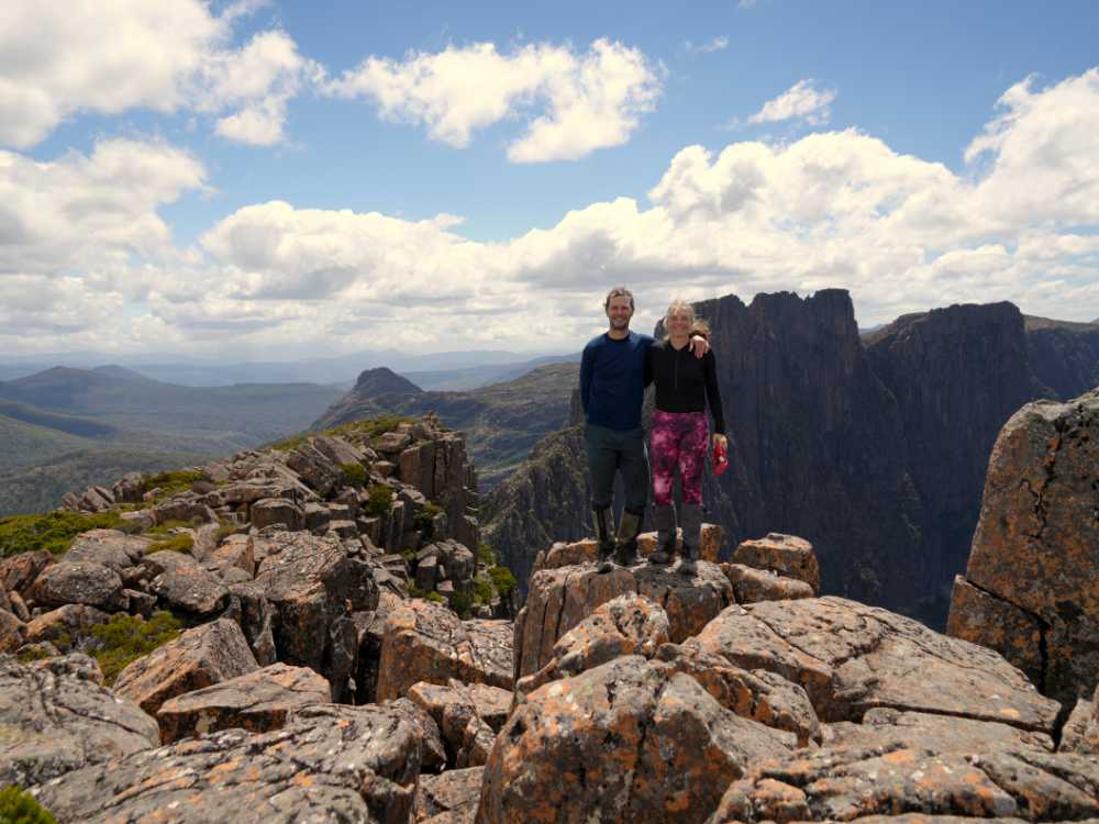
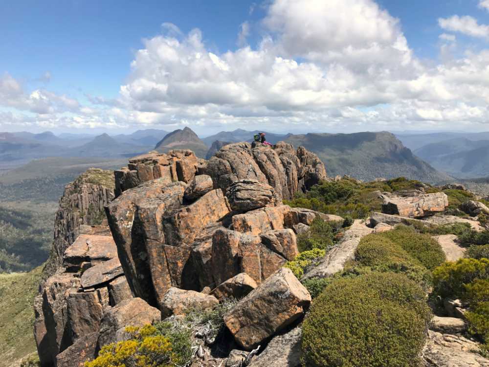
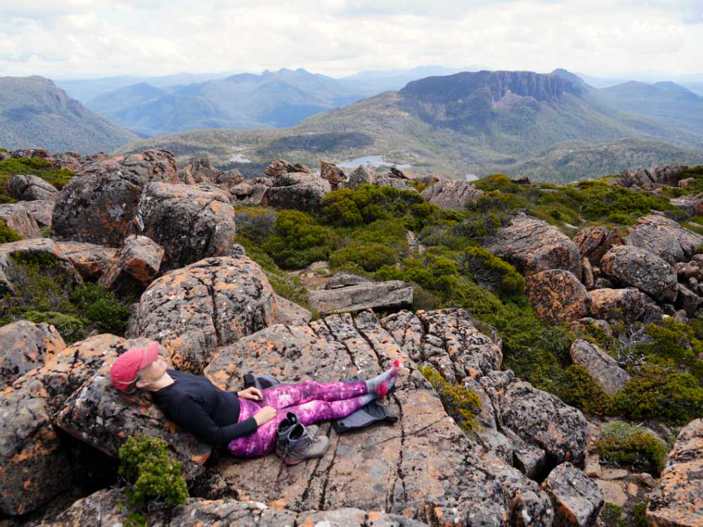
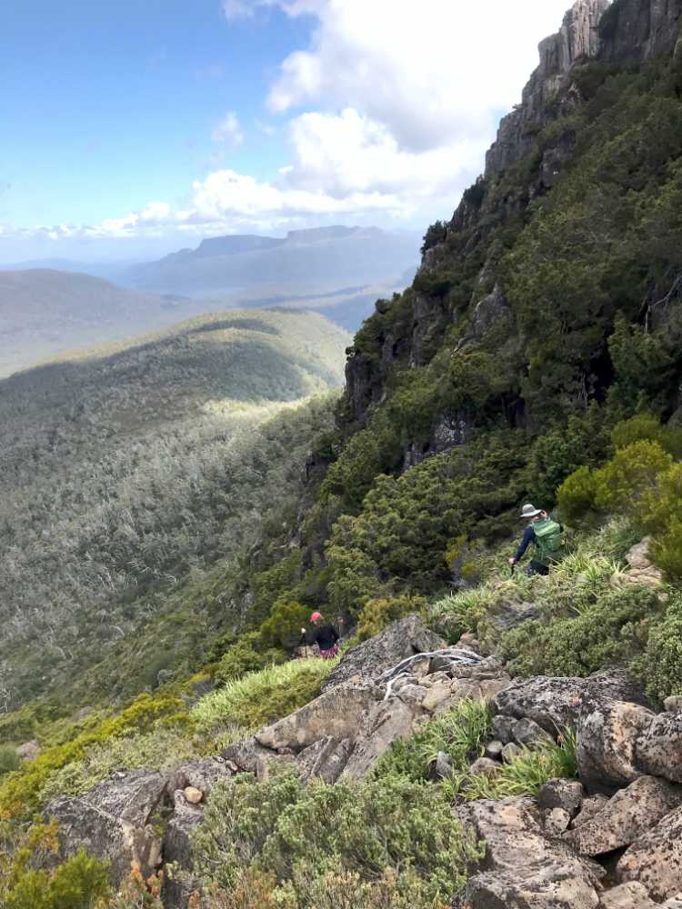
Our lunch was demolished (hiking makes you hungry), our feet were aired, and after taking some more photos we were on the track again. The track starts to head up quite sharply before contouring around to a large boulderfield. We followed the little cairns to the big columns near the top. We left our poles behind as we would be scrambling and climbing from here. But only for a short section. Wow, the views were amazing, the boulderfield was fun to hop around, and then we just sat down, ate some more scroggin (trail mix) and admired the views.
After an hour at the top it was time to head back down. It had been a long day of hiking and we were keen to have some dinner and have an early night again. The forecast for the next day was mixed. Sunny in the morning, but rain would come in the afternoon. We wanted to get up early to get as much time in the Labyrinth before the rain would potentially ruin the views.
Day 2 – Pine Valley Hut to Labyrinth and back (12km, 9hrs)
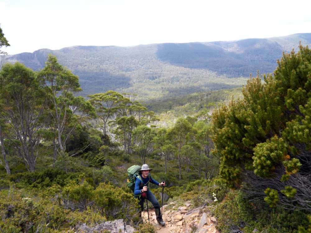
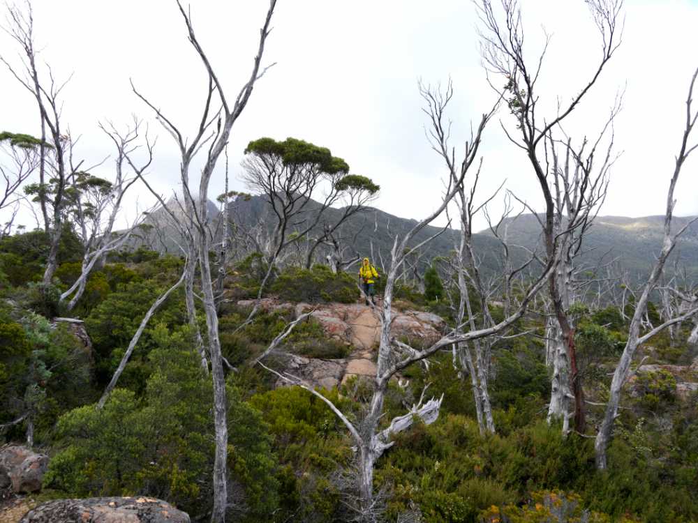
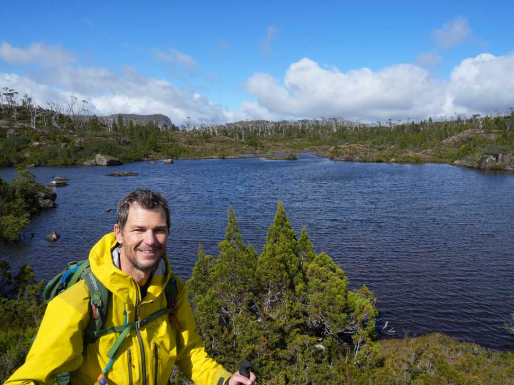
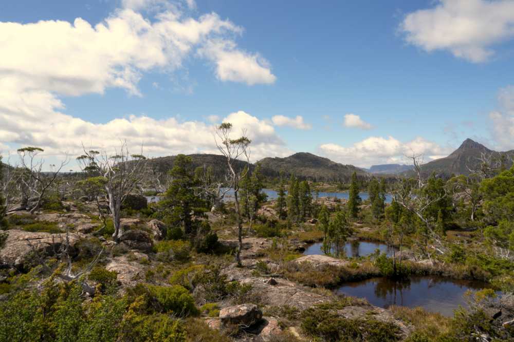
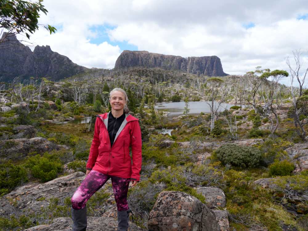
But the next day turned out to be better than the forecast. We did start early and we did hike into the Labyrinth, finally after all those years! It was another walk through the same forest (opposite direction), followed by a steep scramble up the hill before contouring around a stunning open area with more gum trees, boulders and moss. We had great views from the end of that section, but dropped down and hiked back up another hill to see the Labyrinth from the viewpoint. We wanted to see the view before it might disappear with the incoming weather later in the day.
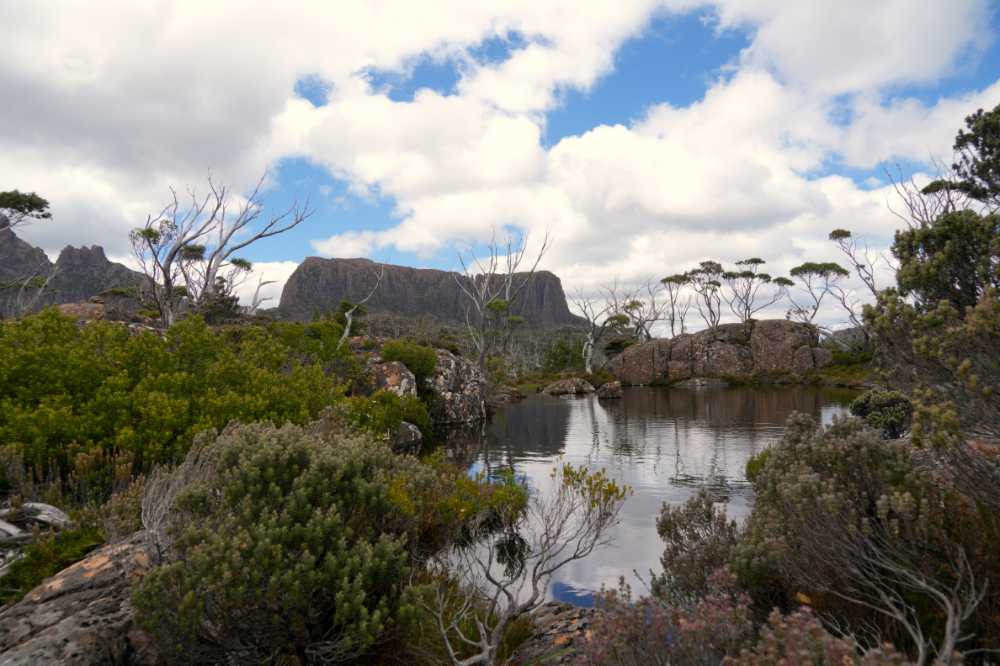
Back down the hill we wound our way past the lakes. First Lake Cyan, quickly followed by Lake Ophion. Another 20 minutes or so hiking and we were looking at Lake Elysia. They were all stunning. It was getting late in the morning and we decided to go to one more lake, a much smaller one called the Pool of Memories. After following Lake Elysia for a while we dropped into the valley with the Pool of Memories, another perfect lunch spot. We were sheltered from the wind and in the sunshine. It was very pleasant and we lounged around for an hour before taking yet more photos around this pond. Now we had to reverse our steps, all the way back to the tent next to Pine Valley Hut. It took us 4 hours to get back, stopping often for photos, occasionally for a chat with other hikers and many times just for admiring the views. This is truly spectacular country, words cannot describe the beauty of this place. Hopefully the pictures give you an idea.
The skies only opened after we were already tucked comfortably into bed, having enjoyed our dinner on the helipad in the sunshine. We were two happy, tired hikers.
Day 3 – Pine Valley Hut to Lake St Clair visitor centre (27km, 9hrs)
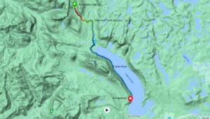
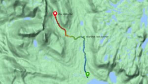
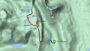
route from Pine Valley Hut to the Lake St Claire visitor centre (minus approx 2km as the battery was flat)
The next morning it was still raining and we made the most of having a hut nearby. We had breakfast in the hut, waking up everyone sleeping there with our MSR Dragonfly. It always sounds like a jet is flying over and the silence after turning it off is huge, but it is a fantastic little stove that has already cooked us breakfasts, dinners and many, many cups of tea for more than 20 years (it was given to us by our friends when we left Holland in 2003!).
The hike out was a continuous mix of rain and sunshine. After reaching Narcissus Hut we also hiked out back to the Lake St Clair visitors centre instead of taking the ferry. It is a stunning hike through more dark, moss-covered ginormous trees and many ferns and fern trees. It brought the total tally for the day to 27km (or thereabouts as Jon’s watch gave up tracking roughly 2km from the end).
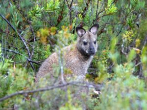
we disturbed a cute red-necked wallaby as we walked back to the Overland track from Pine Valley Hut, he does not look amused
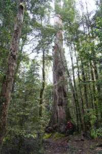
some of the trees on the hike out along Lake St Claire are ginormous, we love hiking this section of the trail
Lara was perfectly dry this time when we chucked everything in the back and drove to a nice spot on the River Derwent in the Franklin-Gordon Wild Rivers NP where we could camp.
This walk had been great in testing a few things in the rain on that last day, we keep learning and will make some adjustments on our next hikes. We also learnt about some additional hiking options in this region, so we might be back again for more if we have time….
