Leeaberra track
hiking: 3 days
distance: 28km plus the additional 6km from the main road to the start of the trailhead
hours walked:
This multi-day hike is a tricky one as you don’t start and finish in the same spot, but instead you walk north to south. And unlike the overland track where there are many buses ferrying people to the start and picking them up from the end, there is no such thing at the Leeberra track. It is named after the Aboriginal word for the Douglas River, on which both campsites for our route were located. Most locals have never even heard of the trail….
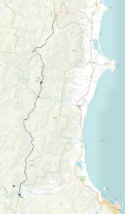
the map of the Leeaberra track, the red dotted line is the section we walked extra to get to the start of the walk
Day 1 – trailhead in the north to Heritage Falls campsite (5.5 on the road + 6km in 6.5 hours)
The plan was hatched to hitch-hike to the start. We parked Lara at the southern end of the trail at Apsley Waterhole. We thought the trickiest bit would be to get a ride from the carpark back to the main road as we didn’t think anyone would be driving that way. But luckily we were wrong. We had already packed our backpacks the night before, but were just adding the last bits as people started arriving, by car and on foot from the waterhole. And everyone was happy to help.
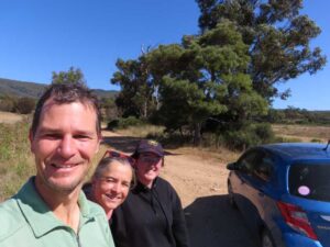
They were all heading to Bicheno (south), and we were happy to try to get another lift once back on the main road, but then Claire, an adventurous science teacher from Wagga Wagga, offered to make a detour for us and drop us off at the start of the unmarked 4wd track that leads to the national park and the trailhead. The first day of hiking is only about 4 hours from the trailhead, so starting from the main road, adding an hour and a half to the 4 hours, wasn’t a problem.
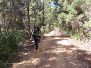
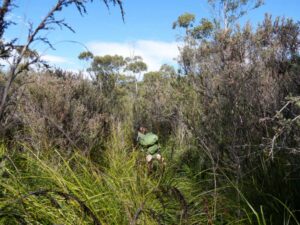
It was a hot, sunny day and Jon was regretting putting on long trousers. But after leaving the trailhead he quickly realised he made the right choice. The track was very overgrown, and now Jude was regretting putting on shorts in the morning.
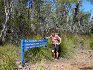
Jude in shorts, she was regretting her choice by the end of day 1 as the track from the trailhead is very overgrown
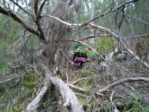
As the track is rarely visited, you have to pay close attention to the trail markers. We lost it several times, usually when a tree, or several, had fallen across and we had to find our way around. But it usually wouldn’t take us long to find the right track again. But it was certainly slow going on large sections.
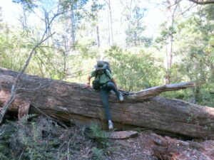
some of the logs fallen across the track are quite large, making it quite an obstacle to get over with a heavy pack
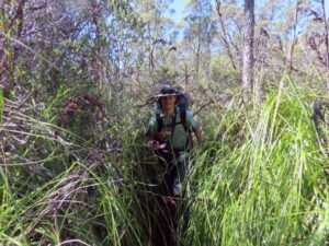
Jon pushing through the tall cutting grass, the name says it all, if you are not careful the blades will cut you
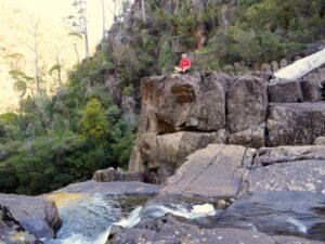
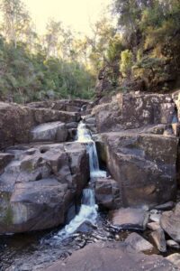
We had lunch not long after we started and then walked on to our campsite at Heritage Falls. As expected there was no-one there and we loved having the place to ourselves. After pitching the tent we visited the Heritage Falls. We thought we could go for a swim, but after some rock-hopping we found ourselves at the top of the impressive falls. Stunning views, but the pool was at the bottom, so we munched on our snacks and took some pictures before heading back to camp. We used the shallow pool there for our wash, it was already getting late in the day and as we were in a valley the sun had well and truly gone. We had not expected it to be this cold on the east coast, but we found ourselves wearing all the warm clothes we had with us. Including our down jackets and beanies. The stars came out and without the fly on we very much enjoyed the stargazing after we had gone to bed.
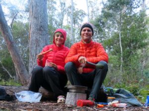
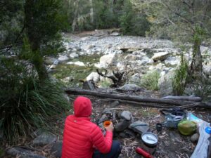
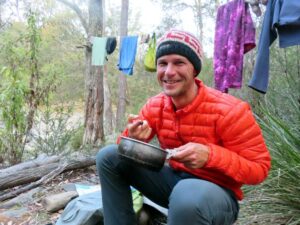
Jon and Jude enjoying pre-dinner carrots with homemade hummus whilst waiting for the dehydrated meal to re-hydrate. It’s very cold at our first campsite and we’re wearing all the warm clothes we brought
Day 2 – Heritage Falls campsite to Douglas River (lower) campsite (7km in 6.5 hours)
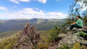
The second day is a relatively short day and we cruised along. We decided to have lunch at one of the optional side trips to Nichol’s Cap from where you have a stunning view over the park and the Needles. It’s windstill and we spend a long time there, enjoying the magnificent scenery and excellent lunch. We meet a tiger snake blocking the trail and initially she is reluctant to move. We encourage from a distance and eventually she moves off with a couple of loud hisses. She moves off the path but comes straight back to the rock underneath it where we assume her eggs are located. We don’t linger to check. Don’t mess with mama snakes!
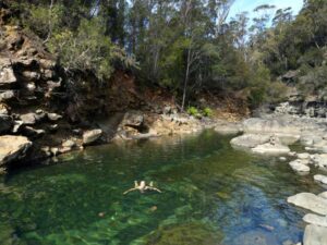
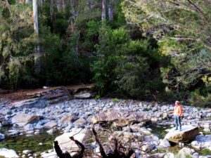
We arrived early in camp, again on the Douglas River. There is no waterfall here, but a series of small rapids and cascades, creating stunning pools everywhere. Some deep, others shallow, and not far from our private camp we find a stunning one deep enough for a proper swim. It’s much earlier in the day too and feels a lot warmer as we are 500m lower than yesterday’s camp.
Day 3 – Douglas River campsite to Apsley waterhole (13.5km in 8.5 hours)
We are rudely awakened by a few drops of rain on our faces and we quickly jump out to put the fly on. We might as well not have bothered as we only received a few more drops half an hour later and the fly seemed to work as a trap for mozzies. We decided to pack our bags completely before even emerging from the tent, these mozzies were ferocious. We sprayed our socks to deter them around the ankles and put on some layers for the rest of our bodies. This way we could enjoy our breakfast without being breakfast ourselves.
This was our last day, but it was the longest day on the hike. The end goal was the Apsley waterhole and we were looking forward to it all day. It was hot. Very hot and sunny. And although we were hiking through forest most of the time, it was a very open and dry forest with not much shade. It was an uneventful slog. Very tough going through sections of tall cutting grass, ferns obscuring the many rocks hiding underneath and lots of scratchy berry bushes trying to grab you and drop bits of their prickly foliage in between your back and pack. Did we mention it was hot?
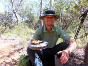
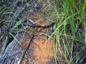
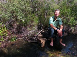
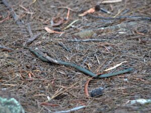
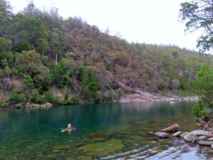
Our highlights of the day were a small white-lip snake posing for photos and our lunch spot. A small, flowing creek with crystal-clear, fresh and cooling water. Surrounded by tall enough scrubs and trees to provide us with plenty of shade to rest and cool off in the middle of the day. A perfectly positioned rock even providing Jon with a seat whilst dangling his feet in the cool flow. And of course the final swim of the day at Apsley waterhole. There were still a few people there (it had been a public holiday apparently) so we couldn’t go for a skinny-dip, but the water temperature was perfectly refreshing after a day of tough hiking. We had our last snack and ambled contently the last few hundred metres back to Lara who had been waiting patiently for us in the carpark.
