Day hikes in Tasmania
We only managed to go on a few day hikes whilst in Tassie this time as we were focusing on doing all the multi-day hikes on our wishlist. These are the few we managed to do:
Narawntapu National Park
Early on in Tasmania we went to this small national park on the north coast. Narawntapu is the Aboriginal name for the Badger Head and West Head area within the park. We didn’t stay here, but hiked from the information centre to Archer’s Knob, from where you have a lovely view over the park and the Bass Strait. We spent a bit of time at the bird hide on Springlawn Lagoon and walked to Bakers Beach. Jude was happy as she spotted two new birds on this walk (dusky robin and the Tasmanian thornbill), but we saw lots more. We watched some yellow-tailed black-cockatoos feast on a banksia, they are always fun to watch.
The walking is easy here, well-made sandy trails that are mostly flat until you reach Archers Knob.
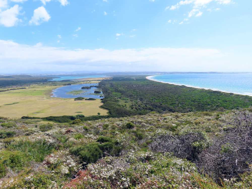
view from the top of Archer’s Knob
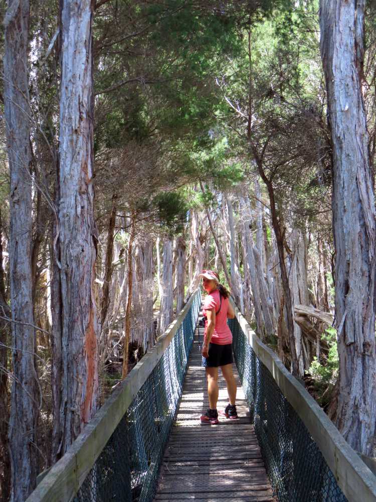
Jude walking to the bird hide in Narawntapu NP
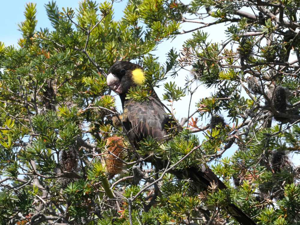
the cockies were happily munching in the banksia
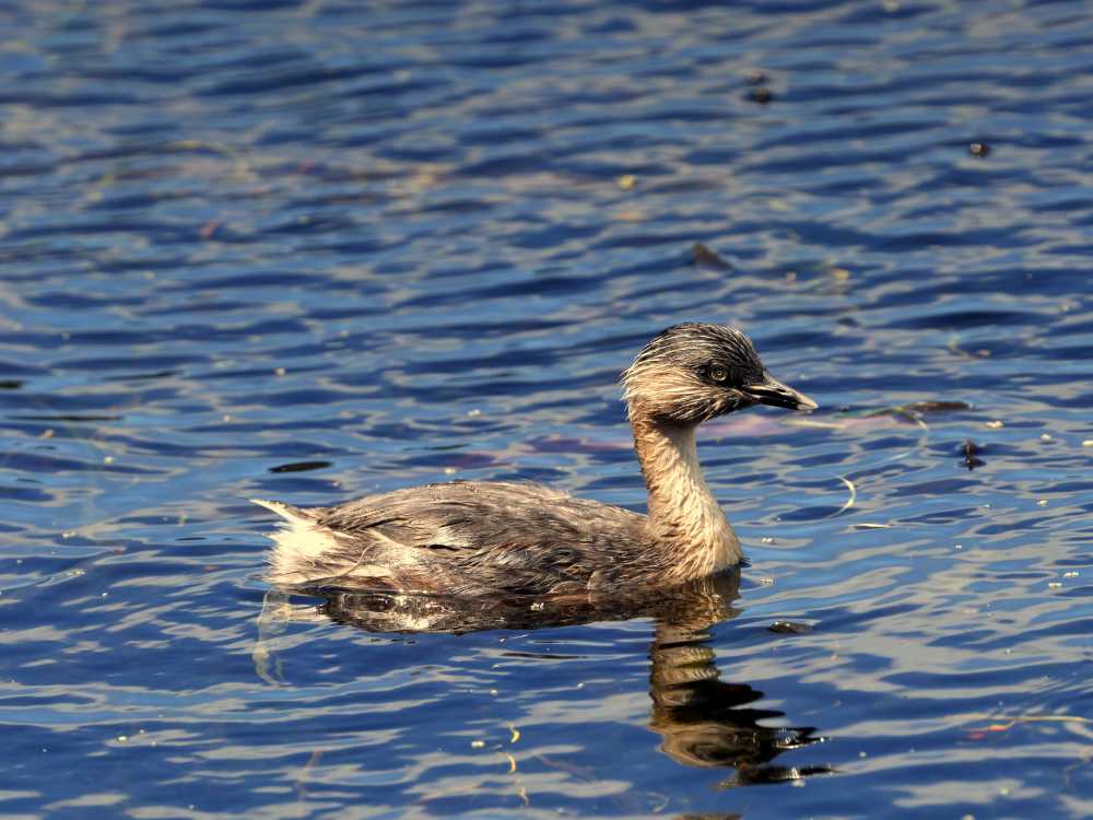
a hoary-headed grebe in Narawntapu NP
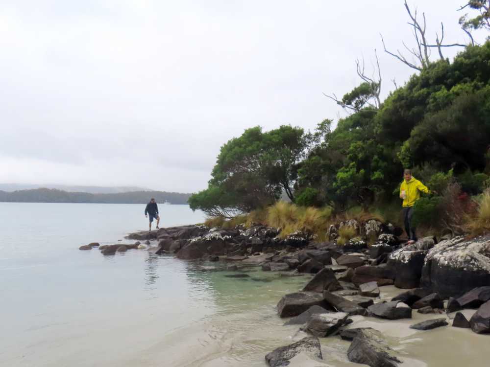
Rocky Cape
Another stunning but windy walk this time. It’s a full day hike, so we camped near the start and after our usual breakfast (lots of cut up fruit, home-made muesli with yoghurt) we drove the last few km to the start. In the different books we have on Tassie hikes, there are several options described. We started from Sister’s Beach and did the walk anti-clockwise.
It meant a short beach walk for us before we turned into the scrubs, climbing quite steeply onto the Rocky Cape. We visited two caves on that first section. One with water inside and the other an aboriginal meeting point you can view from a platform.
walking a section on the ‘beach’ during the hike at Rocky Cape
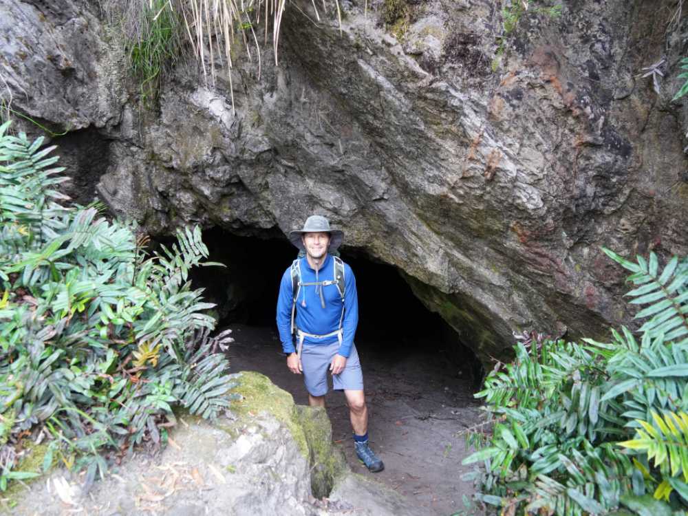
Jon in front of one of the caves we saw on our walk at Rocky Cape
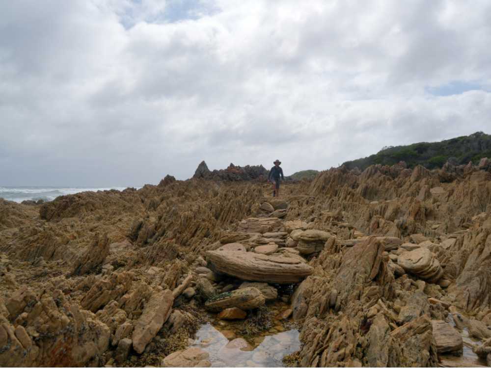
Most of the walk was quite sheltered from the wind, but luckily we had the wind in our back on the more exposed sections crossing the higher plateau covered mostly in the typical button grass with some small trees. We did hike up to the trig point, but only to have a quick look at the views before hurriedly descending back to the more sheltered path down. The wind was certainly howling up the top.
it’s very windy on our walk around Rocky Cape so we don’t stay long at the trig point
We ate our lunch at the junction of the trail, it was sheltered from the wind and quite pleasant. We enjoyed our carrots and cauliflower with the hummus we had made ourselves in Lara, quite a treat.
South Cape (Great Walk)
From Geeveston it’s not far to the literal end of the road. We had been there before in 2010 (check) after we walked there from Melaleuca on the South Coast track, but we had not been back to Cockle Creek since. We drove down together with Mark, Floss and Audrey (their sausage dog) in Cerberus (their self-built 4wd truck).
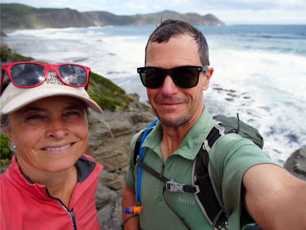
It was a glorious sunny day and we set off to the South Cape after a quick lunch on the beach and an even quicker dip in the ocean. Despite the fact we had been here before, and even walked this exact track, we didn’t recognize anything until we hit South Cape. The cliffs we emerged onto were very recognisable. This was where we left the Southern Ocean for the last time on the South Coast track. From here you turn your back to it and walk to Cockle Creek which is located on the protected bay.
Jon and Jude on the South Cape
The views south are spectacular and were well worth the walk (16km, 4 hours).
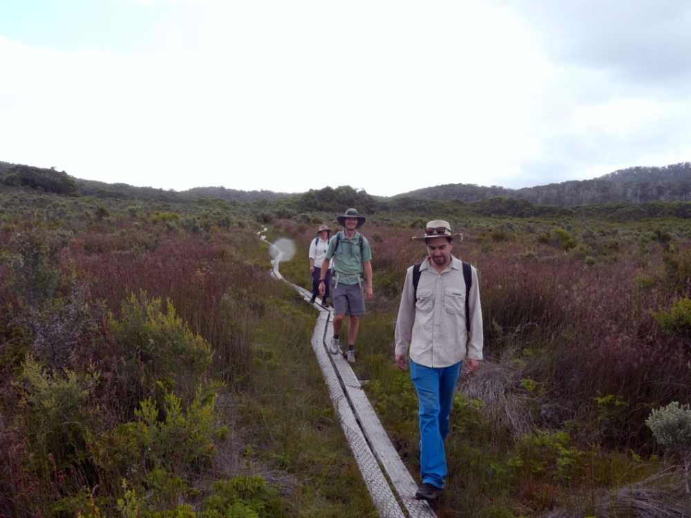
It was a nice walk with lots of sections of boardwalk through the open swampy sections, and just a rocky section near the start and crossing the dunes near the Southern Ocean. From here if we wanted to continue onto the track we would be retracing our steps and would need at least 6 days of food supply to reach Melaleuca.
Floss, Jon and Mark walking back from the South Cape
Birdlife wasn’t very visible on the track, but we did see a tiger snake who was not so happy to see us, a woolly echidna who seemed oblivious to the fact we were there, a glimpse of a swampy antechinus and a few pademelons. Echidnas in this part of the world don’t look very spikey as it gets a lot colder down here so they have a lot more fur in between their spikes.
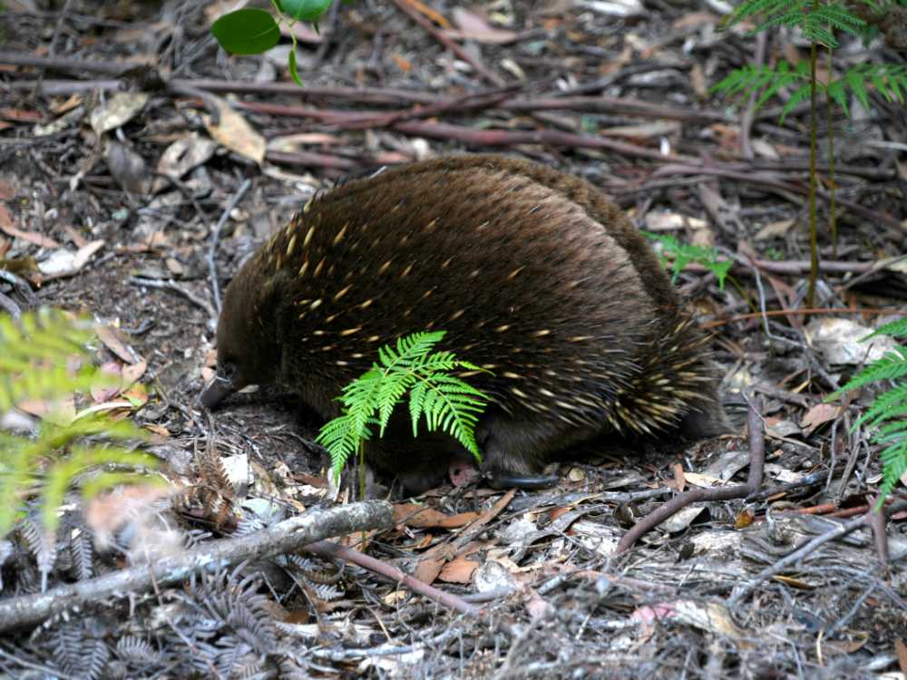
a cute echidna on the walk to the South Cape
We dug out some photos from our South Coast hike and had a giggle when we realised Jon was wearing the same t-shirt as well as the same pair of shorts as he did 14 years ago.
Fishermans Point
It was a rainy day but quite mild. And no wind. So we left our cozy campsite and drove back to Cockle Creek where we parked in the overflow carpark so we could leave Audrey in the truck again. Once you cross the bridge you are in the national park and no dogs are allowed there.
We first checked out the bronze whale statue before starting the short walk to the light and the ruin at the end. We had timed our hike with low tide as the rocky outcrops around the little beach heads are not passable when the tide is high.
Floss got distracted on the first beach with the number of cool shells we saw, so it was just the three of us hopping the rocks and ducking behind the beaches to find the little trails around the bigger rock sections. It was fun and we made good progress. At some point we lost the trail through the scrubs and had to make our own way back to the beach, but it was all pretty cruisy.
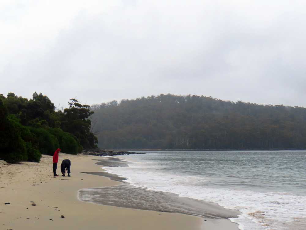
Floss looking for shells on the beach at Cockle Creek
When we reached the end of the walk, we checked out the ruin and watched a flock of great crested terns and a few pied cormorants on the rocks just beyond the light. And then we spotted a sub-antarctic fur-seal amongst the birds. Super cute.

we spot a sub-antarctic fur-seal at Fisherman’s Point
Heading back was probably even faster as we knew where most of the little trails were. Floss was already back at the truck. Just before we got there it started to rain a little bit so we didn’t linger around but drove straight back to the campsite at Catamaran, hoping our spots would still be vacant. They were. Camp was set up very quickly and we changed out of our hiking clothes and started the feast we had planned for dinner.
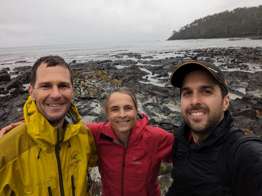
Jon, Jude and Mark at Fisherman’s Point, it was occasionally damp that day
returning from Fisherman’s Point you have to time it right so you don’t get wet feet
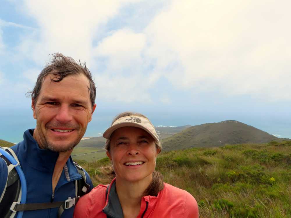
Hartz Peak
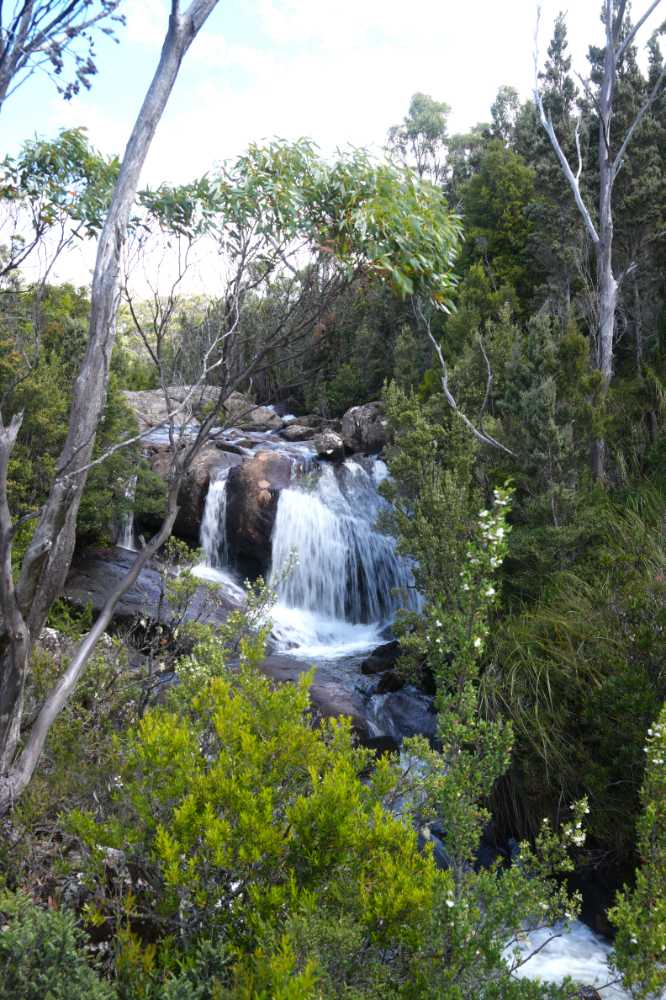
We had tried twice before to head up to the peak with Mark, but were thwarted on both times. The first time we found the road closed due to the damage of the wind that had been blowing pretty strongly in the previous days. That day we hiked to the Kermandie Falls, a stunning little spot that not many people seem to visit as the track was a little overgrown in places. The second time when we were there with both Mark and Floss we found the peak completely covered in clouds so we decided to do the smaller walks instead (Arve Falls, Lake Osborne and Warratah lookout). But, third time lucky it was. We arrived at the nearly empty carpark on a glorious sunny day and we could finally hike to the summit.
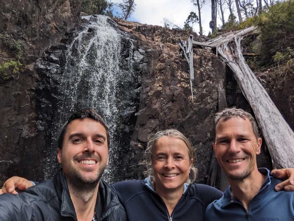
Mark, Jude and Jon at the Kermandie Falls
Floss, Mark and Jon walking to Lake Osborne
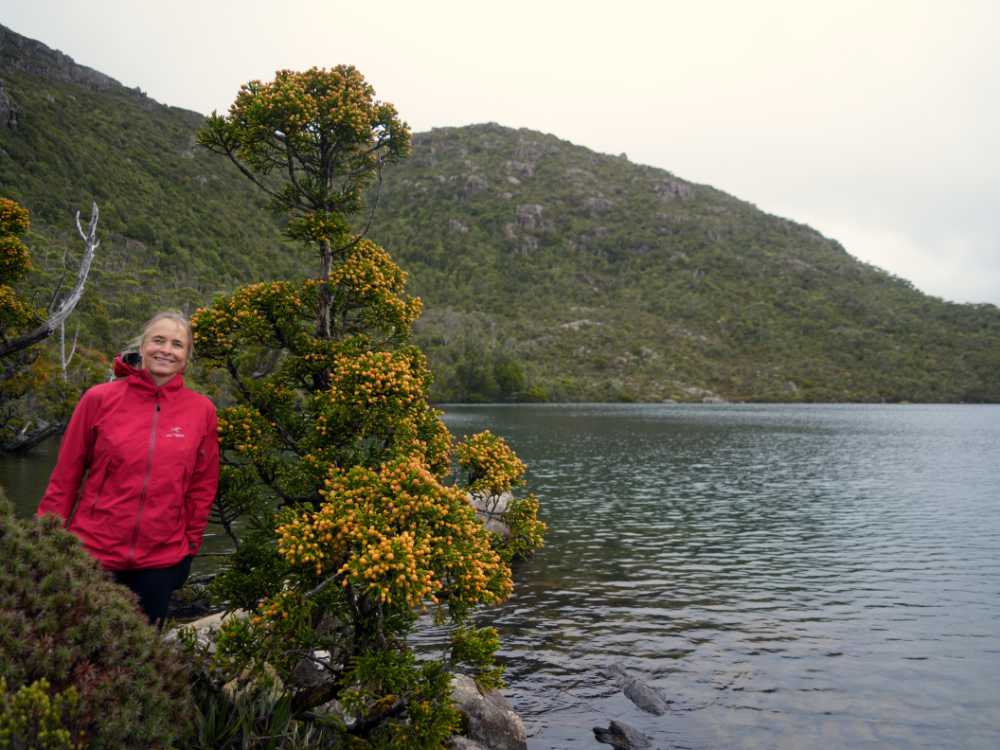
Jude and a small King Billy pine at Lake Osborne
It was only a short walk to the Arve Falls
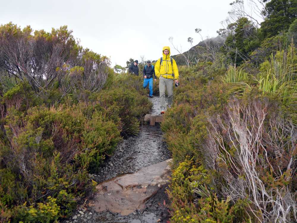
It turned out to be an easy hike. Most of it is boardwalks, and only towards the end do you start the climb. That’s where there are a few boulders to step onto, followed by some more close to the peak. We had the summit all to ourselves and enjoyed lunch with a view. We saw a broad-toothed rat poke his head out from underneath some of the boulders we were sitting on, but he was a bit shy and didn’t pose for the camera.
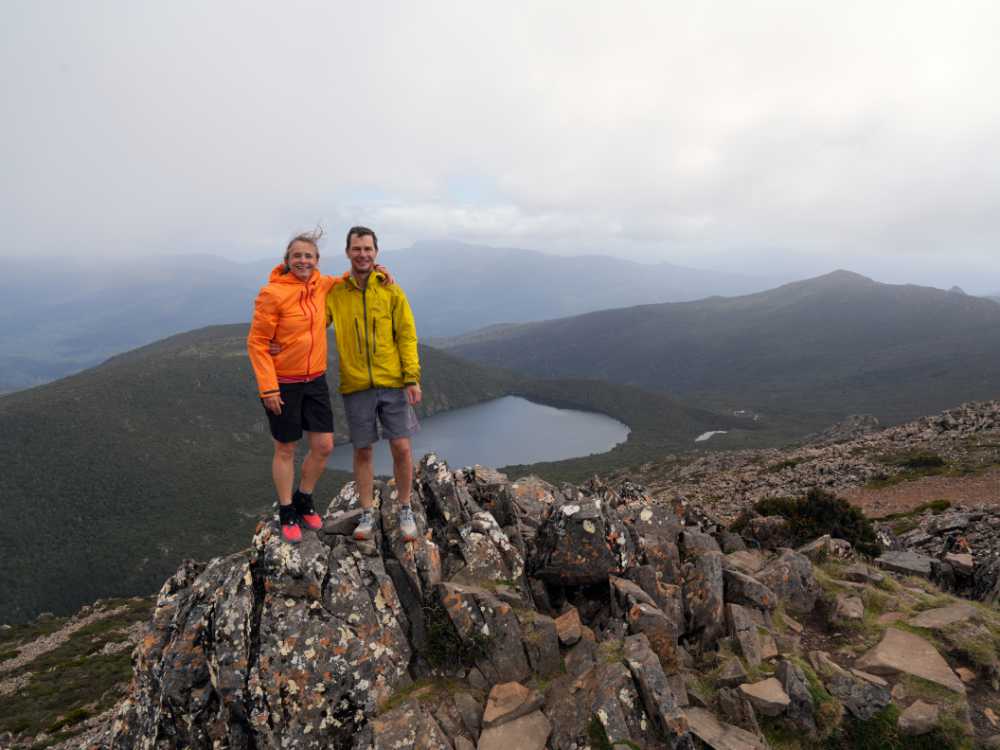
Jon and Jude on top of Hartz Peak
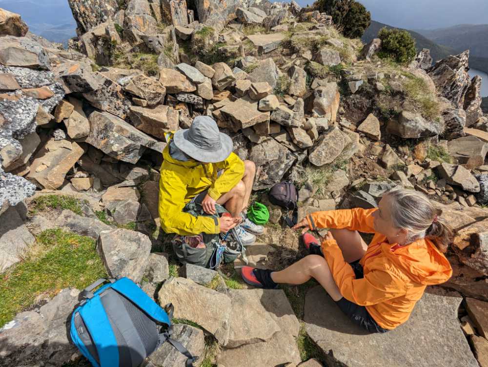
having lunch in a sheltered spot on top of Hartz Peak, the wind made it a bit chilly
After taking plenty of pictures of the view we hiked back the way we came, this time stopping at Ladies Tarn for a swim and at Lake Esperance to relax and have a snack. All too soon we were all piling back into the Mazda again, it’s a bit of a squeeze with three people, but it works and makes for a more social drive.
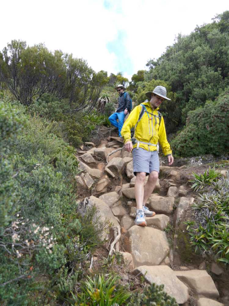
Jon and Mark hiking down from Hartz Peak
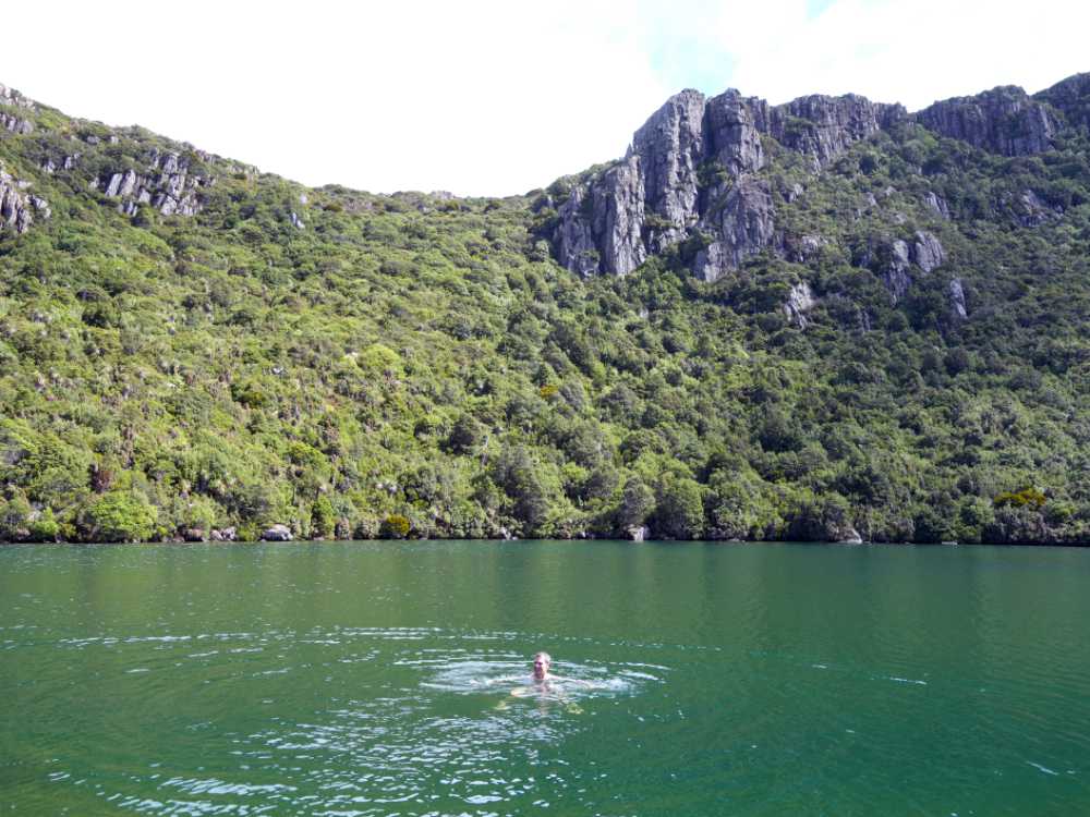
we had a very cold swim in Ladies’ Tarn
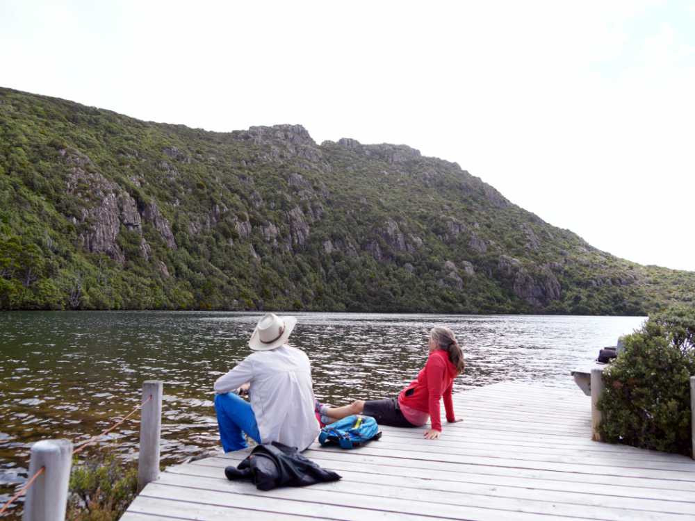
Mark and Jude enjoying the sheltered area around Lake Esperance
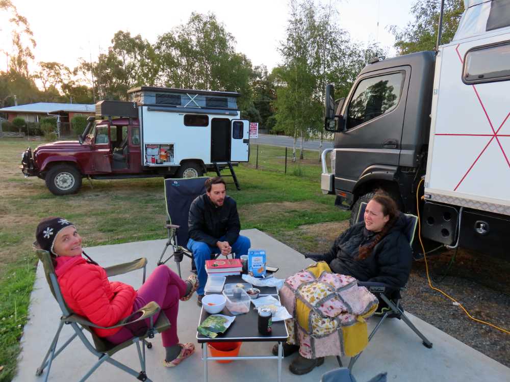
after hiking it’s time to relax and feast on yummy things
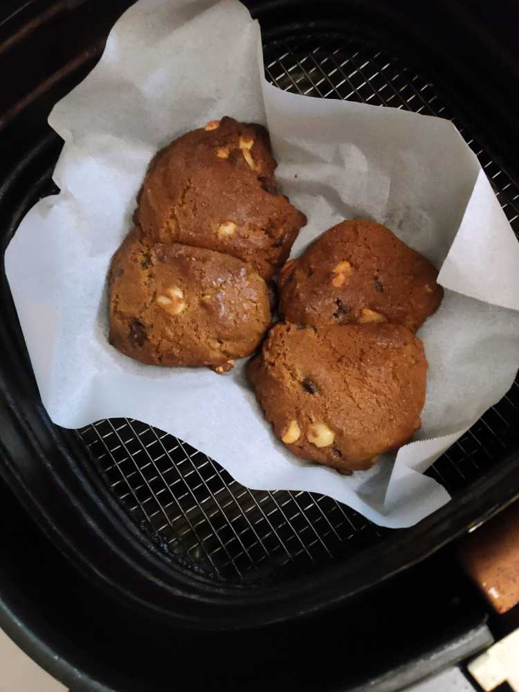
Floss made these – they were simply divine
We weren’t really trying to ‘tick them off’, but we had just summited another Abel. Abels are mountains in Tasmania (named after Abel Tasman) that are higher than 1100m and have an elevation gain of at least 150m on all four sides. There are 158 of them if you want to ‘bag’ them all.
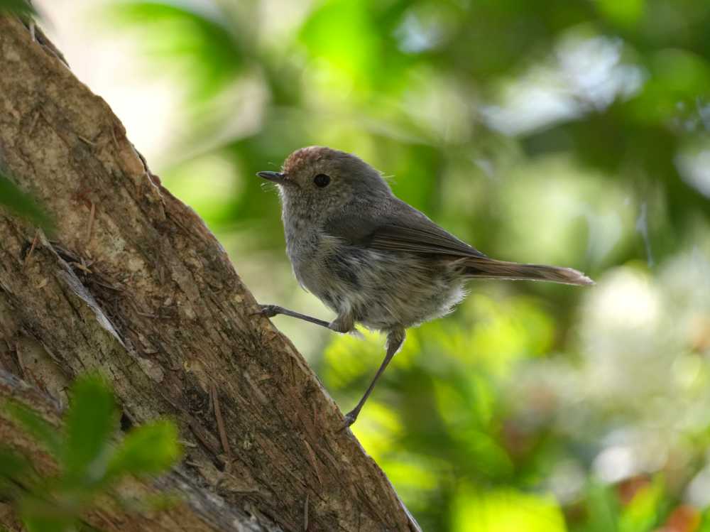
a tiny little Tasmanian thornbill

a stunning, male superb fairywren
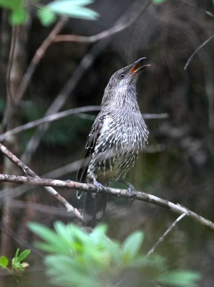
we heard this little wattlebird before we saw it, he was singing his little heart out
Day hikes
- Narawntapu NP – 9km (3 hours)
- Rocky Cape – 17km (6 hours)
- South Cape – 15km (4.5 hours)
- Fisherman’s Point – 7km (2.5 hours)
- Hartz Peak – 8km (4.5 hours)